Boy it has been a busy few days. When I first started last Thursday I had never heard of GIS, Google MyMaps, critical spatial thinking, the digital/spatial humanities, or data cleaning. Not to mention the various Renaissance composers, works, or cities that have been the topic of my first ever mapping project. Ever since I was a child I have been interested in geography and music. For either a birthday or Christmas I received an interactive globe that would give information on countries when you tapped on them. One of my favorite modes was where it would play music typical of the nation you tapped on. Ever since then both music and geography have been passions of mine. Though I eagerly consumed basically any geographic information that came my way, I never had a discerning eye. Maps always seemed like these objective facts and I couldn’t imagine changing things let alone making them myself.
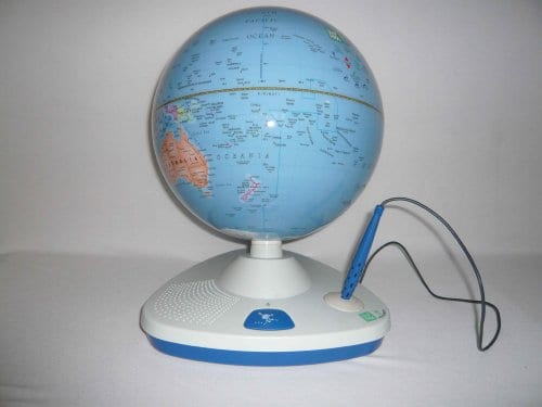
The globe in question.
Making my first map has taught me a lot of lessons about mapping. First and most important (I think) is that basically all modern maps are built off of past maps and data. All of the software we use to build our digital maps is a framework of satellite mapping and layers that have already been created. On the other hand, a lot of the mapping we are doing is based on music scholarship and history, not much of which has been collected in easy to format databases as of today. In actuality, today we used data that a group from 2017 had done for the same map. We had to edit it of course to fit our needs, but having previous work to go off of is rare in the musical geography world.
Out of the readings that we have done so far, I think the most relevant ones are the most recent. It can be frustrating at times to not have the map formatted in the right way or to be missing some pieces of data here and there. Mark Monmonier in his book, How to Lie with Maps tells us not to worry, it is impossible to include everything in one maps so we must sometimes distort the truth to fit our purposes. If it was possible to include every bit of data in a single map there would be no cohesive story, and then there would be no point. Sometimes we must purposefully exclude information to get our point across. This is reassuring. Bethany Nowviskie titled a talk “How to Play with Maps” and describes how we can let our creativity free when manipulating data or the mapping interface. That way we can leave a bit of ourselves and find new ways to present data. Both of these readings serve to present mapping as fun and creative, inspiring me for the work ahead in January.
Thanks for this reflection, William – and thanks especially for showing off that awesome globe, which I will now have to acquire. I hope you can maintain your investment in creativity and play throughout this course, as it will serve us well as we try to capture an audience’s attention in our Burleigh maps.