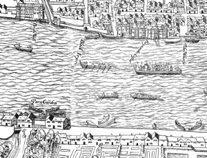
Created through a collaboration between professors of Oxford and Victoria University in England, this is a map of “Early Modern London” which outlines buildings and roads in color-coded categories based on location. Any combination of the categories may be shown on the map, and clicking specific venues produces pop-ups that provide information about the location. In addition, the location-based pop-up shows users which supplemental documents are related to the content being viewed, providing hyperlinks to other features on the site. The entire site is open-code, open-access, and open-source.

You must be logged in to post a comment.