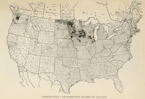
Locating Lutheranism, funded by St. Olaf College’s Digital Humanities on the Hill initiative, seeks to learn about Norwegian-American Lutheran populations in MN through mapping and analyzing the names, locations, and census information associated with historical and present-day Lutheran congregations. Student and faculty collaborators use WordPress and ArcGIS to display their data, and to focus on four particular Minnesota congregations that drew their attention. On their site, they include multiple maps to show different ideas. Their site shows clear purpose, data, process, and results. Additionally, you can use the search bar on their site to search for towns and keywords related to the Lutheran Church in Minnesota.
Recent Posts
- Reconstructing the t(Ruth): A Biography of Ruth Weatherless
- When Life Gives You Lemons: A Reconstructed Biography of John Cleveland Lemons
- Out of the Field, Into the Rabbit Hole: From Florence Price to Jewel Jennifer – Part II
- Out of the Field, into the Rabbit Hole: From Florence Price to Jewel Jennifer – Part I
- Gladys C. Fearing
Tags
Aaron Copland
advice
Americans in Paris
archival research
Ballets Russes
Burleigh
challenges in mapping
Cinema
creating maps
Darius Milhaud
data
data entry
Diaghilev
diana sinton
digital humanities
digital maps
DUR
final reflections
First Blog Post
Goals
Google Maps
H.T. Burleigh
Harmony Bench
Harry T Burleigh
HT Burleigh
Introduction
Jazz
Josephine Baker
Le Gaulois
Map
mapping
methodology
negrophilia
Opéra
Paris
Princesse de Polignac
race
Reflection
Research
research methods
research process
Research Project
Resources
Slave Songs of the United States
Spreadsheet
You must be logged in to post a comment.