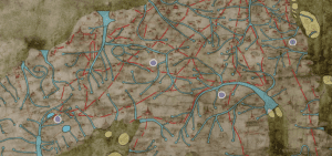
This website hosts a project titled “Linguistic Geographies” that seeks to understand how people in the Middle Ages created maps. Their website, similar to ours, shows a map and a blog. They focus on only one map, the Gough Map of Great Britain (believed to be one of the earliest maps “to show Britain in a geographically-recognizable form”). They include a search bar that allows the user to search by modern location or Middle Ages location name.

You must be logged in to post a comment.