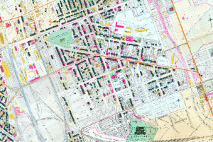
This project from Messiah College and Harrisburg University of Science and Technology is a model for using census data in conjunction with historical maps. With a 1901 Company Atlas, a team of students and faculty combed through 1900 Census Data for the Town of Harrisburg and joined that data with polygons for each residence. The map includes a search function for first and last name, as well as location.
You must be logged in to post a comment.