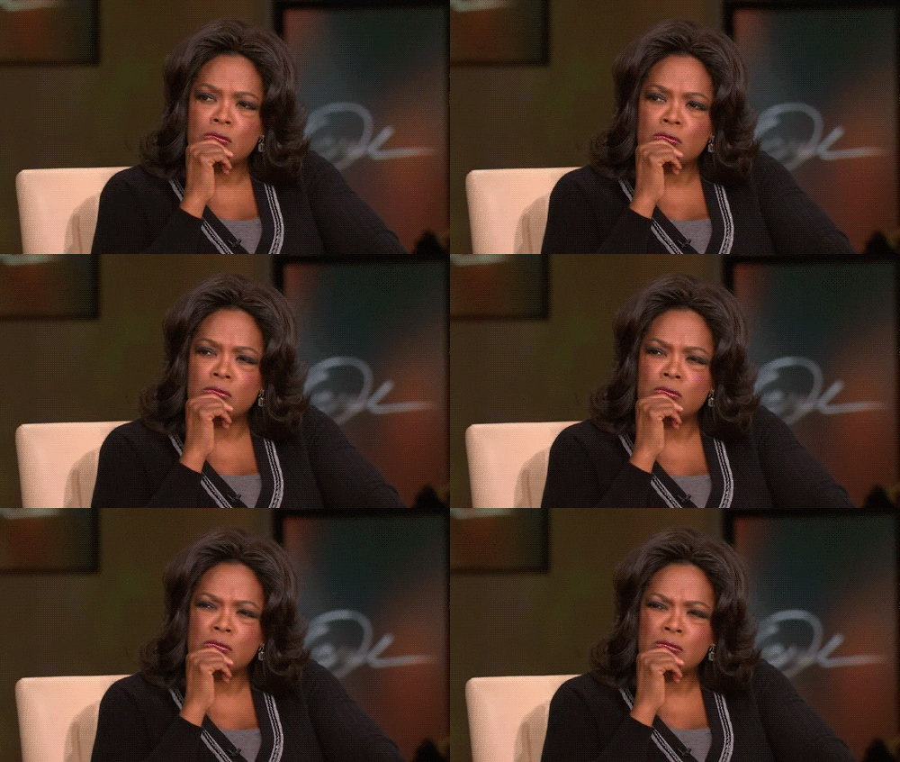
When I tell people I’m working on a project called “Mapping the Musical Geography of 1924 Paris” I usually get a polite response of “that sounds…interesting,” (refer to the facial expression below), and a prompt diversion of the conversation.
To be honest, when I first began the project I thought it sounded interesting but somewhat unapproachable too. Now that we’re four weeks in though, I think (I hope) I have a better grasp about what we’re doing/making and why. So if you’re confused, I hope this blog post can provide a bit of clarity and get you as excited for our project as we all are!
The culmination of our hard work is an interactive, digital map that aims to replicate the music scene of 1924 Paris. If you haven’t seen our home page yet, it features a working prototype of the map we’re making, which you can check out here.
So how are we going to accomplish this monstrous task? Well, we’re currently digging through archival information like old newspapers (like Le Gaulois) and letters to find any mention of a musical performance.

http://upload.wikimedia.org/wikipedia/commons/thumb/9/95/Le_Gaulois.jpg/300px-Le_Gaulois.jpg
Once we find this information, we enter as much detail as we can into a form which then generates a spreadsheet. The information on the spreadsheet will become coordinates on the map. We hope to include more information in each marker like pictures or sound recordings to make sure that it is an audio-visual experience. Of course, this process isn’t quite as easy as it seems. We have tactics to find the primary sources like researching specific composers and artists, looking at different venues, and studying the history of Paris during this time. We’re learning a lot which is giving us great contextual information about how life was in Paris in 1924. Hopefully, we’ll be able to convey this knowledge in a holistic way.
But why are we making this map you might ask? Well first, I would say because it’s cool- many of us use GoogleMaps, MapQuest, and other mapping software in our everyday lives to find a restaurant or get directions– well now you can use our map to learn about music history, composers of the 20th century, the geography of Paris and so on. I consider our work to be a tool for teachers that embraces the technology students are using today to create an engaging lesson plan that will be interesting for students, or an interactive way to start further research. Second, our expansive work (and the continuation of work on the map) will allow us to combine information from all styles of music, performances, etc. This variety will provide a better understanding of the overall music scene of Paris during this time (not just classical, or jazz, or . This is important because there are few sources that have the capacity to talk about all of the things going on in Paris simply because there were so many! Our aim is to cover (or at least begin to cover) these varieties and in doing so get a better sense of the whole music scene in Paris.
This is our project in a very small nutshell. I hope it makes more sense, you’re excited about our work (refer to facial expressions below) and that you’ll follow along with our work!

“You get a map and you get a map!” http://ebostick1212.files.wordpress.com/2013/02/oprah-you-get-a-car.gif

You must be logged in to post a comment.